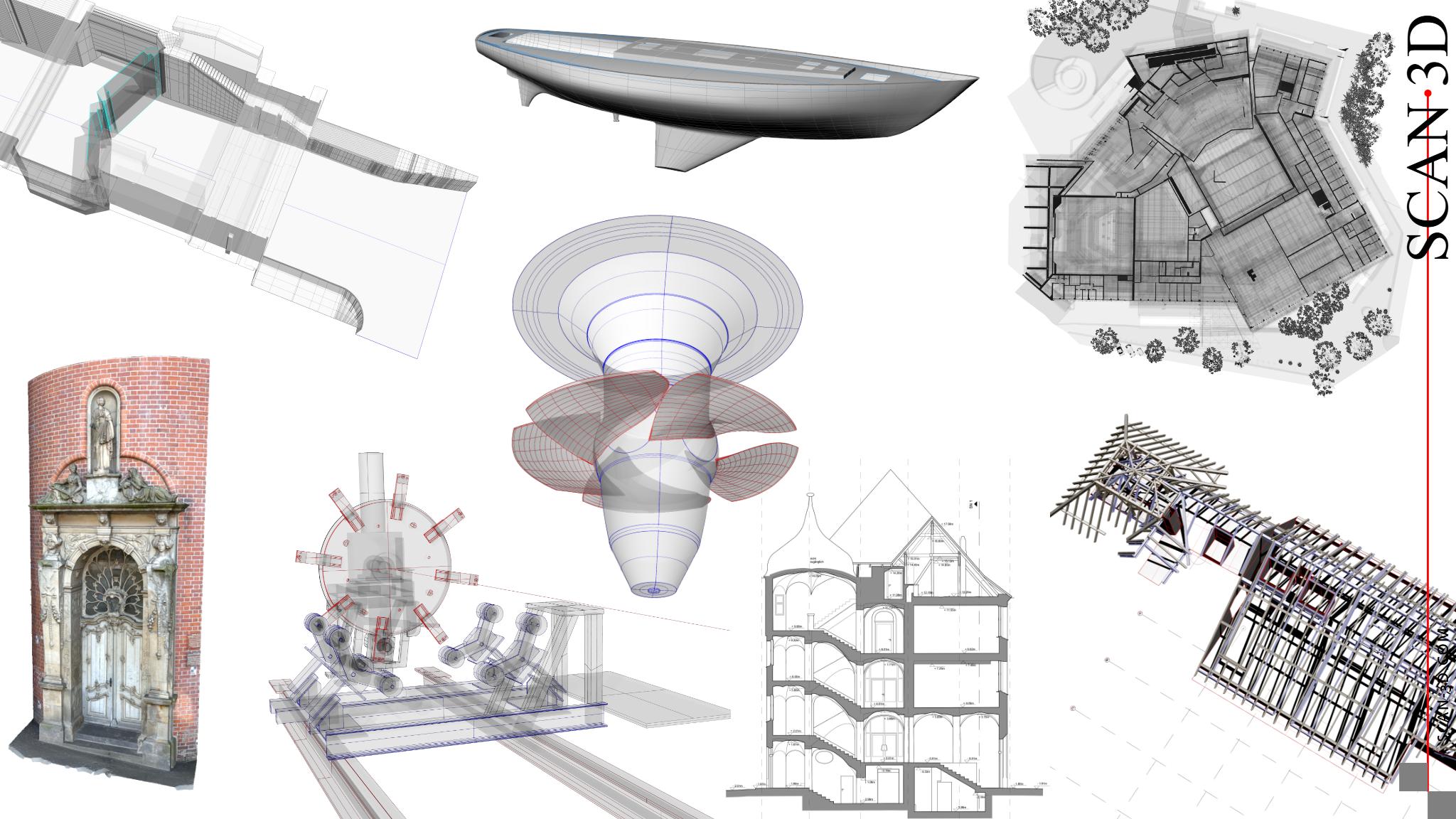
3D laser scanning measurement and surveying for architecture BIM monument preservation industry mechanical engineering shipbuilding hydropower
3D surveying - Europe and worldwide
The Scan3D team has been involved in 3D laser scanning for architecture and monument preservation since 1999. Grown out of a research project at the TU Berlin, we have been offering laser scanning surveys for architecture and monument preservation since 2001. We are one of the pioneers in the industry, and not only in the 3D measurement of historical buildings. For more than 20 years, we have established the use of laser scanning for digital surveying and 3D documentation in various fields of activity and have now successfully completed more than 1000 orders.
3D surveying, documentation and measurement with laser scanning, photogrammetry and handheld scanners
As part of the expansion of surveying and 3D documentation to shipbuilding and industry, we founded Scan3D GmbH in 2005. Our interdisciplinary team of engineers and technicians specialising in surveying, geomatics, computer science, architecture, heritage conservation and archaeology has grown steadily ever since. Designers and, temporarily, shipbuilders have also joined the team in order to meet the constantly evolving requirements of our clients.
Measuring and surveying with 3D laser scanning
The use of 3D laser scanning makes it possible to precisely and completely record the surfaces of objects and take measurements of buildings in a short space of time. The result is a digital object model as a virtual three-dimensional image in the form of a 3D point cloud with texture information of the surfaces.
The requirements for the measurement and surveying task in 3D scanning require specific logistics and a great deal of experience in order to ensure optimum implementation of the measurement assignment. Our experience enables us to provide you with a smooth and precisely coordinated project process. We pay particular attention to the accuracy and cost-effectiveness of the 3D measurement results.
Your requirements as well as the accuracy and cost-effectiveness of the results are our priority. We combine various 3D laser scanners from the manufacturers Faro, Creaform, Z+F, Leica and Riegl with cameras and close-range sensors.

Surveying and services with laser scanning and photogrammetry for architecture BIM monument preservation industry shipbuilding | training and consulting
- 3D surveying and measurement in architecture, engineering surveying and building information modelling (BIM)
- 3D documentation and measurement in archaeology, building research and monument preservation using 3D laser scannin
- Laser scanning for industrial and plant documentation, mechanical engineering and toolmaking
- 3D laser scanning in shipbuilding and yacht building
- Solutions for 3D laser scanning in hydroelectric power plants and turbine measurement
- 3D scanning in steel construction and trade for the production of components and special constructions
- 3D laser scanning and photogrammetry for art, cultural heritage and restoration
- Special applications in various areas, e.g. crash tests of motor vehicles, models for hydraulic tests, cast parts

Products and results from laser scanning and photogrammetry
The order of the examples largely corresponds to the processing effort for their creation.
- Point clouds (lps, e57, pts, xyz, ...)
- Virtual tours (html, jpeg, ...)
- Orthophotos (tif, pdf, dwg, ...)
- Deformation images, target/actual comparisons (tif, pdf, dwg, ...)
- Image plans (tif, pdf, dwg, ...)
- Meshing, textured surface models (stl, obj, ...)
- CAD plans (dxf, dwg, 3dm, pdf, ...)
- CAD models (stp, igs, 3dm, dwg, 3dm, pdf, ...)
- As-built models for BIM (ifc, pln, rvt, apn, ...)


Diese Zeile wird automatisch generiert und kann gelöscht werden.


